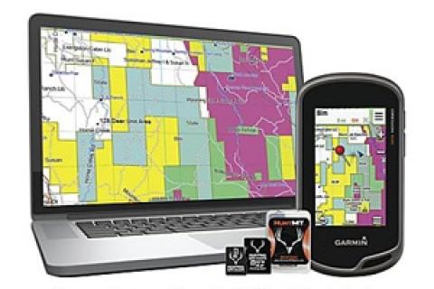
For the past several months I've been field testing one of the coolest products available for the hunter — Hunting Premium GPS Maps program.
 |
| Find public land, boundaries and determine landowner names with the Hunting Premium Maps plug-n-play chip. |
Hunting GPS's Premium map card is a plug-n-play chip that easily installs in most (ones that accept memory cards) Garmin units. It runs flawlessly on both my Garmin Oregon 650T and eTrex 20.
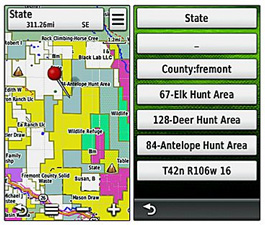
The Premium Map chip identifies public and private land ownership, an all-important consideration when dealing with obscure borders, a common situation around segmented parcels of public land. Thus a hunter can locate public areas that are hidden from most sportsmen relying on boots-on-the-ground observations.
But the product goes well beyond this. In many cases it also shows plat information for private properties. In other words, you're provided with the name of the landowner, the all important first step in determining whose door to knock on when seeking permission to hunt. In my state — Pennsylvania — plat information is organized on a county basis. Over 90 percent of the counties show plat data on the chip.
Also, you don't give up other useful map features to use the product. The background map is topographic, up to 24K in detail. Color coding highlights public areas.
Map use isn't limited to in-the-field work with a handheld GPS. Download Garmin's BaseCamp program (it's free) and you can plug the card into a computer slot and view it from the comfort of home — an incredibly useful pre-planning feature. All-in-all, it's simply one of the most useful tools available for the hunter looking to expand his or her range.
Currently Hunting GPS Map's Premium map program is available for 13 hunter-heavy states and eight multi-state regions, a list that's likely to lengthen as the company expands its product.
- 6206 views

